Metadata - Hydrologic Soils Group Maps
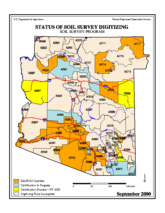
The Hydrologic Soils Map were derived from the soil survey shape files obtained from Soils Datamart (http://soildatamart.nrcs.usda.gov/) which were joined with an appropriate attribute table (derived from the component file 'comp.txt' and the mapping unit attribute file) which was distributed with the digital release of the soil surveys. The following digital surveys were downloaded from the Soils Datamart site on March 6, 2006:
A table was created using the major soils in the Muatt.txt file. These were 'joined' in ArcMap using the mapping unit symbol attribute in the file and the soilmu_a_az'X'.shp (where 'X' is the soil survey number e.g. soilmu_a_az669.shp).
The comp.txt file provided the percentage of each major soil in the mapping unit. FCD prepared a new table (Muatt.txt) which provided the full mapping unit name (from muaggatt.txt file) and the percentage of soil in A, B, C or D Hydrologic Soils Group (from the comp.txt file).
The muatt.txt file was joined to the soilmu_a_az'X'.shp file in ArcMap 9.1 using the map unit key or map unit symbol as a joining attribute.
The percentage of each minor soil is not identified explicitly in the comp.txt file, and the major soils typically will not sum to 100%. For example, the Altar-Sasabe soil mapping unit contains 50% Altar Soils, which are HSG B, and 30% Sasabe Soils, which are HSG C. The remaining 20% of the mapping unit is composed of minor soils. For the purposes of estimating the HSG of the mapping unit, the minor soils were neglected, so that the HSG map unit shows the mapping unit to be 37.5% C and 62.5% B.
Prepared by Evan Canfield, Pima County Regional Flood Control District 11/29/2006.
