
![]()
|
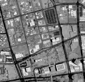
The BLM Arizona Imagery Mosaic includes over 8,000 images. Each source image has between 50 and 300 meters of overedge image beyond the latitude and longitude corner crosses embedded in the image. For this interactive map, the overedge has been clipped off and the images have been georeferenced to align with each other in a seamless mosaic grid. Due to variations in the individual photos, the seams are often visible on the Arizona map. |
The BLM Arizona Imagery Mosaic is referenced to the NAD 83 UTM projection, Zone 12.
More metadata for the imagery itself and related photo index layers includes:
We thank the BLM GIS Incident Management Team for clipping and mosaicing the photos from the U.S. Geological Survey and various other sources, and the Arizona State Cartographer's Office for duplicating the stacks of CDs to make them available to us.
![]()